Cultivera method · Field Systems

Rural systems lose momentum between places.

Read the field, locate the break, place the minimum intervention and end with the next accountable decision.

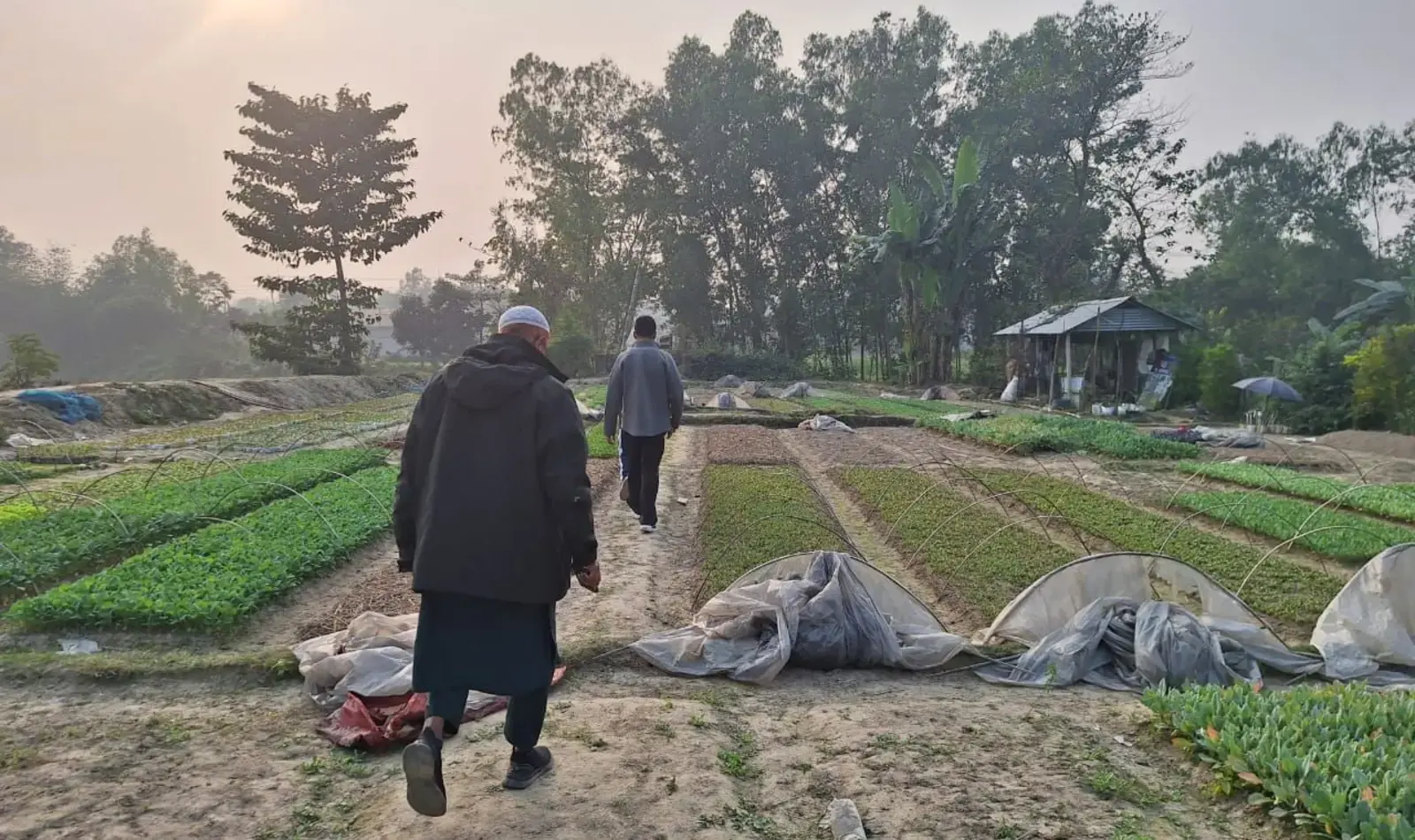
Field partners walking through a rural production route in Bangladesh Bangladesh field systems atlas A restrained district outline of Bangladesh with one indicative working route. Project sites are approximate.
Bangladesh field routeThe dashed line is illustrative. Field context and public geography are representative; project locations are not exact.
01 · Read the field
Financing raised across represented projects
BDT 62m
Public projects
8
Beneficiaries in the delivered reference project
25,000
Projects open for funding
3
02 · Field atlas

From fragmented places to one operating route.

Eight public projects begin in different productive systems. The atlas reveals the operating break, places the minimum intervention and resolves each route into a live decision.

Stage 1 of 5: Read the field

  1. Start with the Bogra corridor, char communities, Jashore flowers, coastal systems and one national cold-chain question.

  2. Expose where timing, custody, service continuity, evidence, capacity or settlement interrupts value.

  3. Place only the hub, evidence chain, movement record, operating clock or traceability layer the route requires.

  4. Join field activity to operators, buyers, records and capital through visible handovers.

  5. End with the next accountable decision for every project, including the option to pause.

Cultivera field atlas · approximate public geographyUnderstand the place.

Eight projects appear in five public field geographies.

Explore the public portfolio
03 · Project atlas

Eight projects across Bangladesh.

Select a marker to preview a project. Double-click, press Enter, or activate the selected marker again to open the full project case.

How to use Select once to preview. Double-click, press Enter, or tap the selected marker again to open. Colours indicate public status, not investment quality.

No active geographyAdjust the filters to restore the view.
Approximate public geography for eight Cultivera projects. Use the browser or map markers to select one.
OpenIn progressCompletedConcept
Approximate public geography
Productive agricultureOpen for fundingPlanning case

Mahasthangarh Agri-Value Hub

Bogra

A first operating site for collection, handling, producer services and buyer access in Bogra’s seedling economy.

Why now

Heat, fragmented handling and limited storage reduce producer control over timing and price.
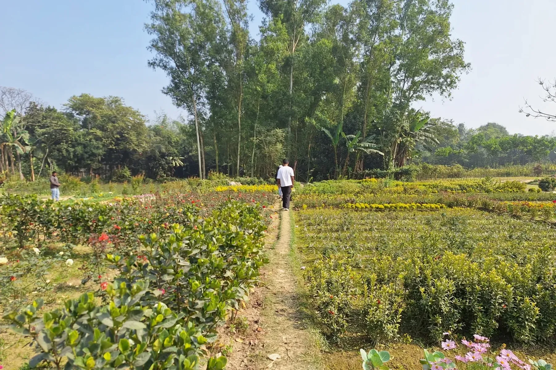
Produce handling context for the Mahasthangarh Agri-Value Hub planning case
Bogra · Representative produce handling context for the proposed hub.
Reported trade
Reported
BDT 48 crore
Reported local estimate
Nurseries
Reported
≈300
Reported local estimate
Partner opportunity

A funding partner can confirm hub demand, appoint the operator and secure buyer routes.

Next decision

Confirm the first site, operator group, producer cluster and buyer requirements.

Open the full project case →

No projects match this view.

Clear one or more filters to return projects to the field atlas.

Atlas result · Next decision

Turn the selected project decision into a working brief.

Start a project brief →